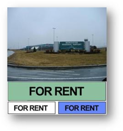
Well, yes there is. If you study the history of the fledgling airport you will find that the location was not really selected by visionaries of the time. It wasn’t in good proximity to the population center. It had no major road access. It was (and is) frequently smothered in fog and bad weather. But build it they did. At 1,ooo feet, on the highest peak in Worcester, they constructed a couple of runways and began service in the 50’s.
Much money has been spent. Business has been up and down. Airlines have been courted. They have come and they have gone. Currently Direct Air services Fort Myers (Punta Gorda), Orlando(Sanford), and now West Palm Beach Florida.
Massport took over the running of Worcester Airport in June and is trying to divert some traffic away from Logan. Time will tell. Unfortunately, as the old Pepperidge Farm commercial goes, “you can’t get there from here”. Today, ORH still lacks any connection to an Interstate highway. The airport is located on the north-west corner of Worcester, perfect proximity to residents of Holden and Paxton.
However, for Metro West, here are the directions to the airport from Framingham. Drive time is approximately 24 minutes from Route 9 West (under conditions of no-traffic):
- Take Route 9 West through Shrewsbury into Worcester.
- Cross Lake Quinsigamond Bridge onto Belmont Street.
- Continue straight. Belmont Street becomes Highland Street (at Lincoln Square).
- Continue on Highland Street across Park Avenue (4th set of traffic lights).
- Take second right at rotary (Newton Square) onto Pleasant Street.
- Continue on Pleasant Street 2.8 miles and turn left onto Airport Drive.
- Continue on Airport Drive. Airport entrance is on right.
What does it tell you when the official website looks like this:

Worcester Regional Airport is a great airport, if only…
